Cycling the Wild Atlantic Way: Route Guide and Best Sections
The 2,500 km Wild Atlantic Way by bike, section by section, with real distances, how long it takes, the best direction and the parts worth a week.
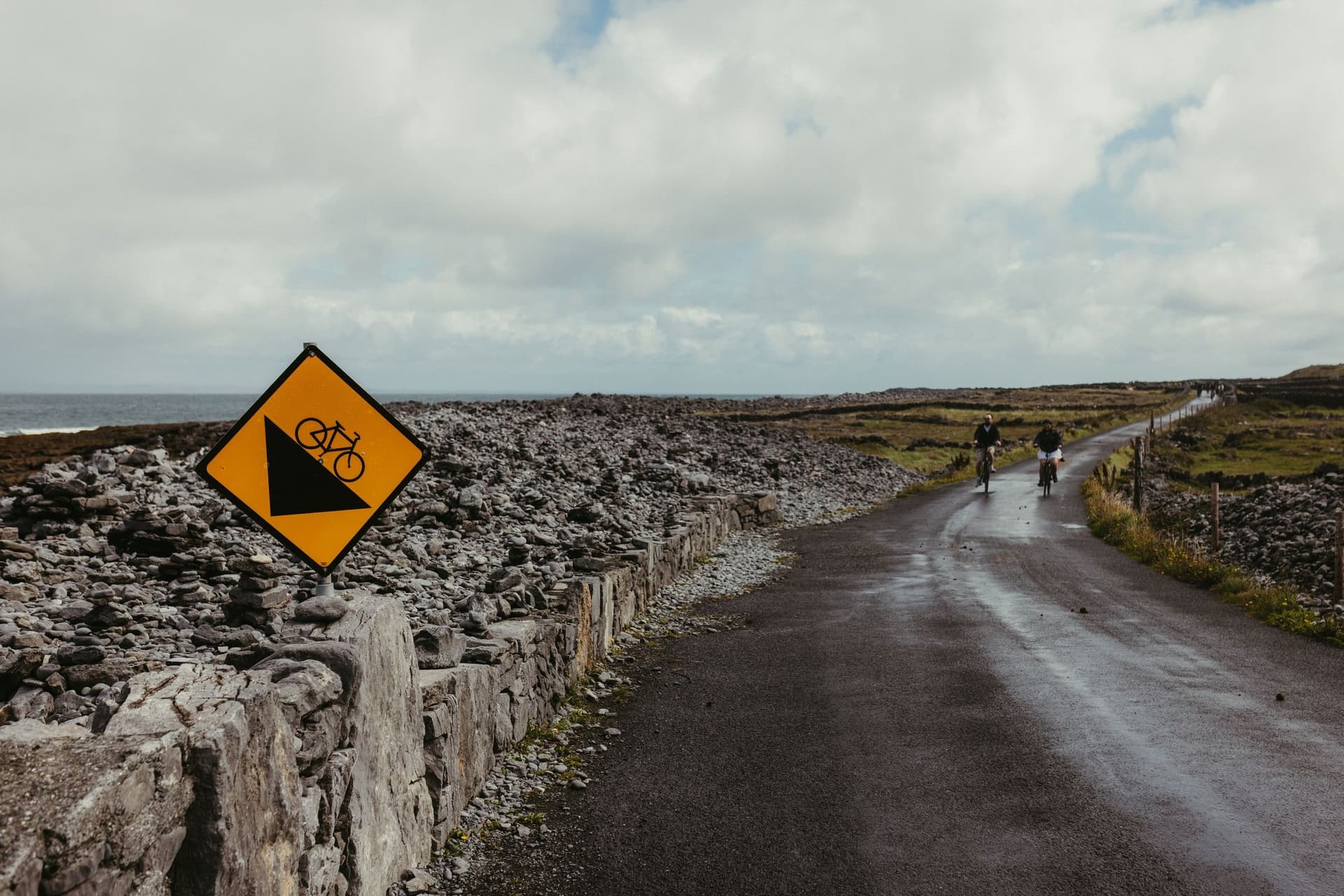
Quick links
Don't want to read all this?
We've planned 800+ cycling trips. Send your dates, fitness and group size — we'll map the route and book every night.


The Wild Atlantic Way follows Ireland's west coast for about 2,500 km, from the Inishowen Peninsula in Donegal to Kinsale in County Cork. It is the best cycle touring in the country, and most riders take it one section at a time.
This guide covers the route from south to north, the way most cyclists ride it, with what each section is like and how long it takes. Five of the sections are self-guided tours we run. For routes away from the coast, see our guide to cycling in Ireland.
What Is the Wild Atlantic Way?
The Wild Atlantic Way is a signed coastal touring route, launched by Fáilte Ireland in 2014 to draw visitors to the west coast. It links existing roads rather than building new ones, so cyclists share it with cars and coaches. Most of it runs on quiet coast roads, but a few stretches use national roads, such as the N59 in Connemara and the N70 round Kerry.
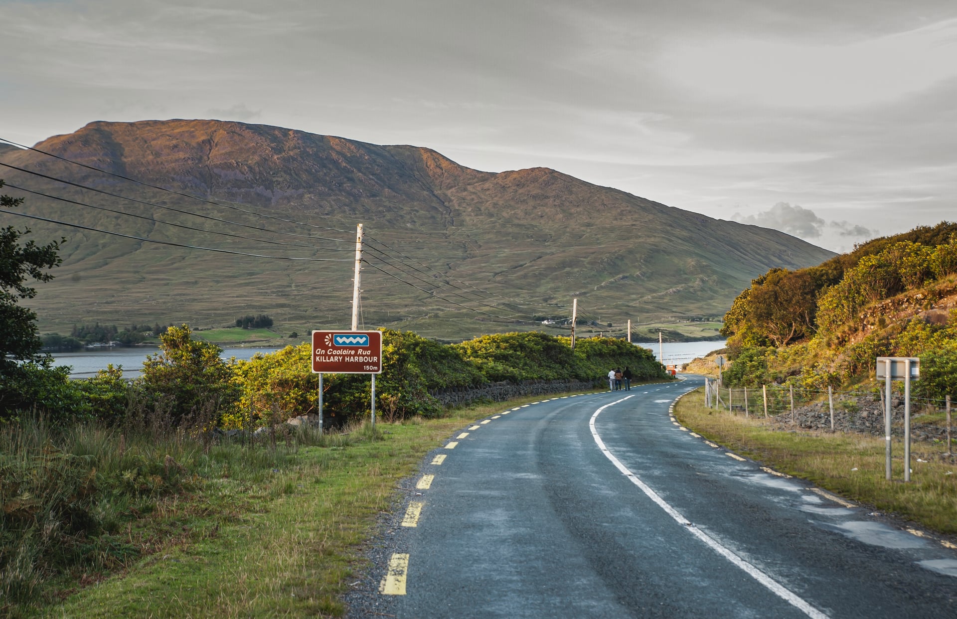
Road signs carrying the route's wave logo mark the way, labelled WAW (N) for northbound and WAW (S) for southbound. Along it, about 180 discovery points mark viewpoints and landmarks, and 15 of them are signature points such as the Cliffs of Moher, Mizen Head and Malin Head.
For cyclists, EuroVelo 1 is the better line on the busiest stretches. It shadows the coast on quieter roads for over 2,300 km and is mapped in daily sections of 40 to 80 km with GPX files, which is where the most reliable cycling distances come from.
How Long Does It Take to Cycle the Wild Atlantic Way?
Most riders need three to five weeks for the whole coast. At 100 km a day it takes about 25 days; at a relaxed 60 km a day, nearer six weeks. Fit riders covering 150 km a day finish in about 17, but that pace leaves no spare days.
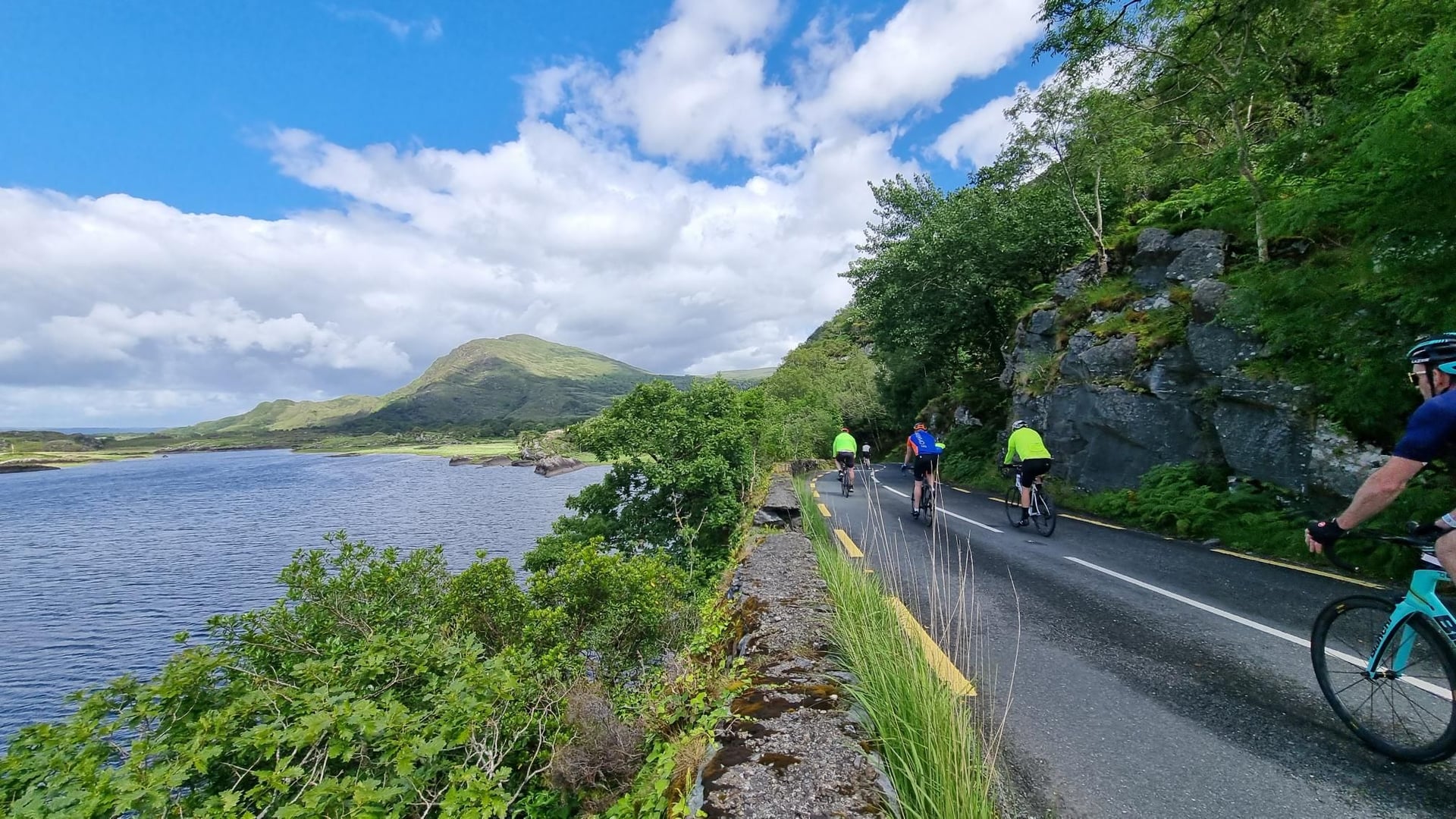
Ride it south to north. Met Éireann notes that the prevailing wind blows from between south and west, so starting in Kinsale puts it behind you more often than not.
Few people have a month free, so most ride it in pieces. A week covers one region properly, which is how our tours are built: each one rides a single stretch of the coast at 30 to 60 km a day.
A common Wild Atlantic Way bike route over several summers splits it in three: Kinsale to Galway, Galway to Sligo and Sligo to Malin Head. Each third is roughly 800 km, about two weeks at a touring pace, and makes a natural cycling itinerary of its own.
The Wild Atlantic Way Section by Section
The nine sections below run south to north. Distances follow the EuroVelo 1 day sections where the route shares them.
1. West Cork: Kinsale to Mizen Head
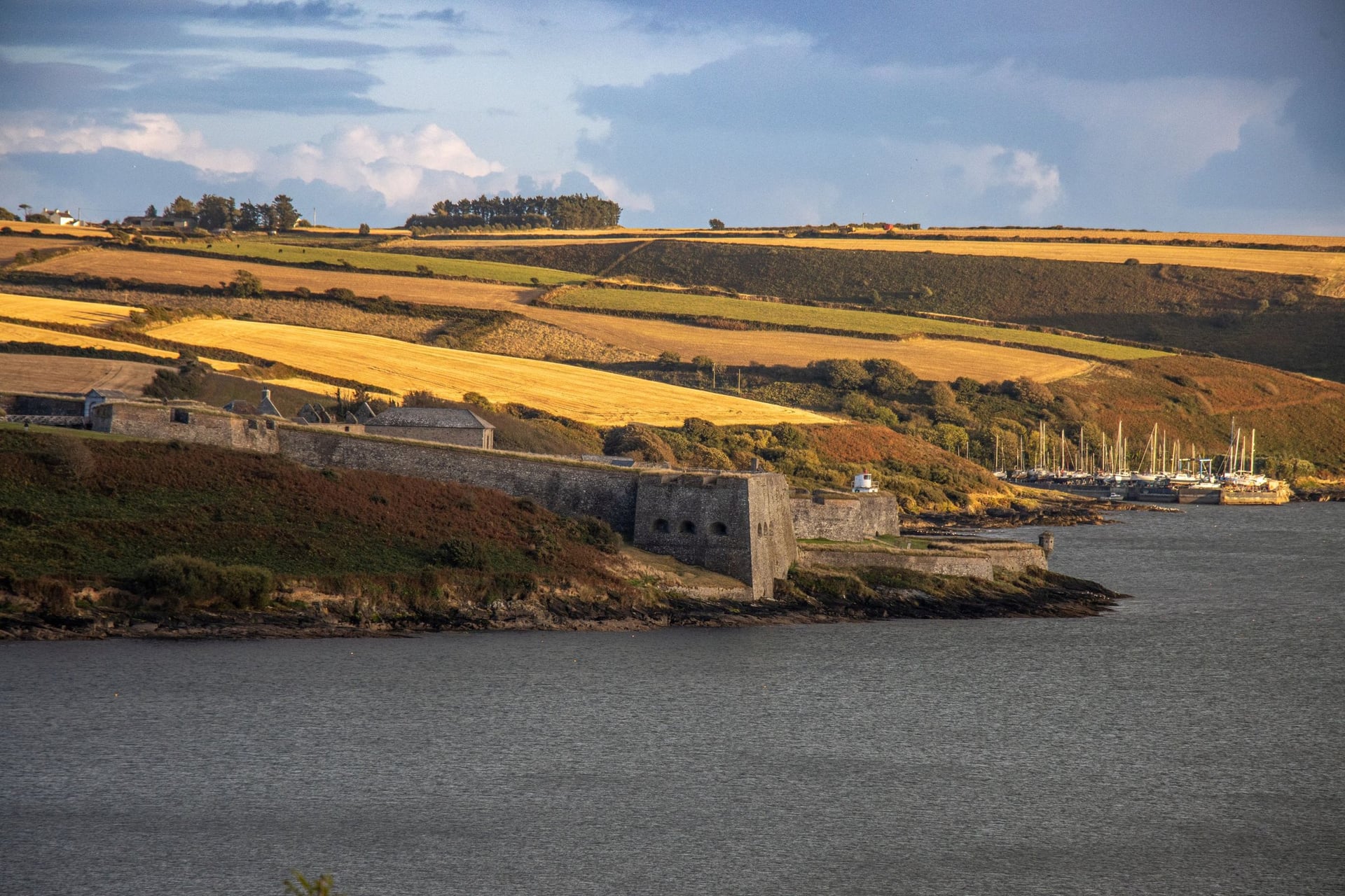
Distance: ~250 km, Kinsale to Bantry
Days: 4 to 5
Highlights: the Old Head of Kinsale, Clonakilty, Baltimore, Mizen Head
Best for: A gentle start on small harbour roads
The route starts in Kinsale, a harbour town 21 km from Cork Airport. It heads west through Clonakilty and Baltimore, on rolling roads that link a string of small harbours. The Old Head of Kinsale, one of the 15 signature points, is a short detour on the first morning.
The section ends at Mizen Head, Ireland's south-western tip, where a footbridge crosses to the old signal station. Sheep's Head, the next peninsula north, is one of the quietest loops on the whole route, with a lighthouse at its tip and almost no through traffic.
2. Beara Peninsula
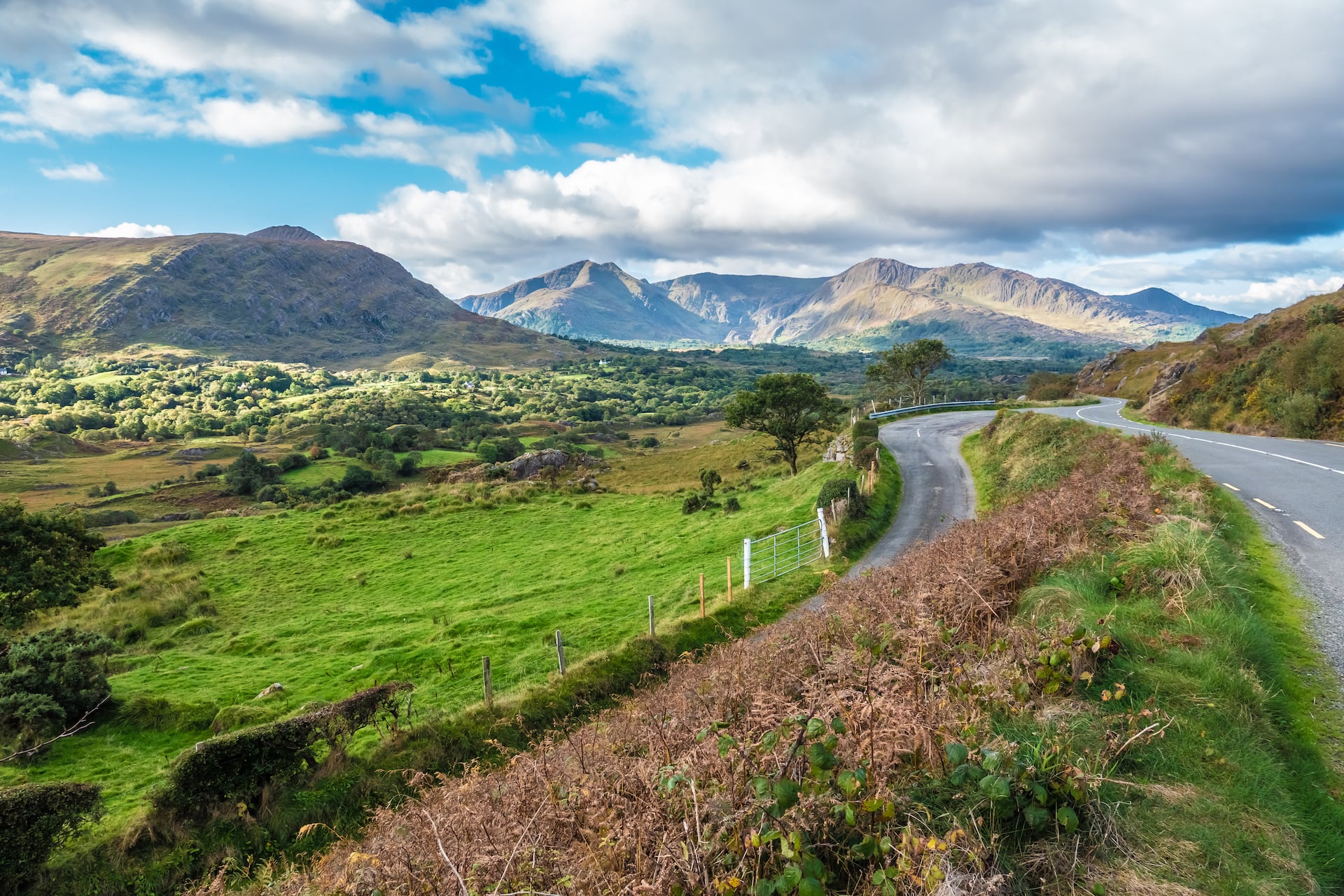
Distance: ~130 km, Bantry to Kenmare via Castletownbere
Days: 2 to 3, or a week on our tour
Highlights: Castletownbere, Dursey Island, Eyeries, the Ardgroom stone circle
Our tour: Beara Way Bike Tour, 7 days from Killarney
Beara, shared between Cork and Kerry, gets a fraction of the Ring of Kerry's traffic. The road runs out past the fishing port of Castletownbere to the cable car for Dursey Island, then back along the north shore through the painted village of Eyeries.
Our tour rides it as a loop from Killarney, adding the Gap of Dunloe and Glengarriff, at 34 to 59 km a day.
3. Ring of Kerry and the Skellig Ring
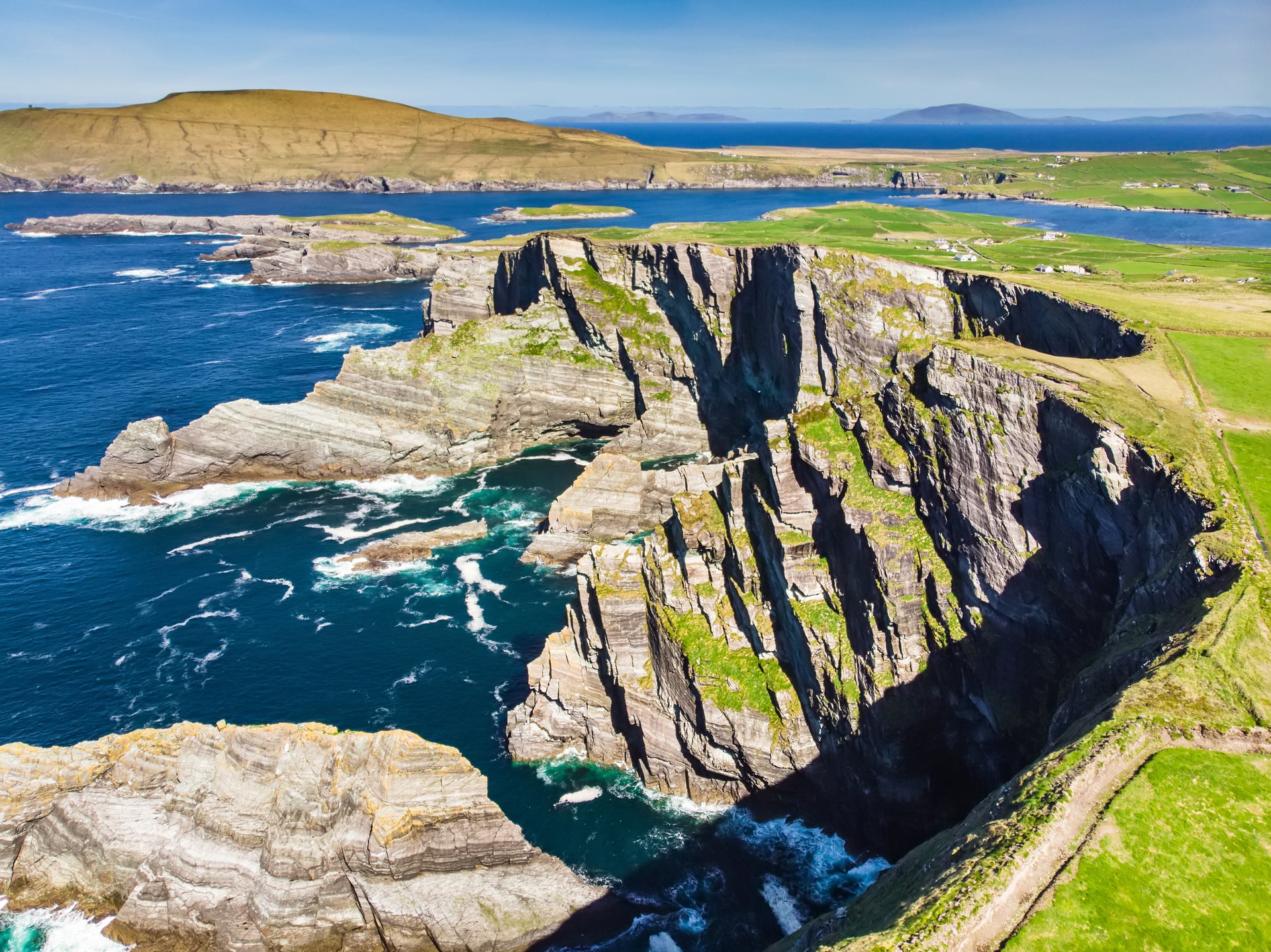
Distance: ~140 km, Kenmare to Glenbeigh
Days: 2 to 3, or a week on our tour
Highlights: the Skellig Ring, the Kerry Cliffs, Waterville, Derrynane
Our tour: Ring of Kerry Bike Tour, 8 days from Tralee
The Ring of Kerry is the best-known stretch of the coast, and the busiest. The Skellig Ring detour is where it gets quiet, past the Kerry Cliffs and Portmagee with the Skellig Islands offshore.
Waterville and the climb above Derrynane Bay are the hardest miles. Our tour rides the ring anticlockwise from Tralee, the same way as the coaches, and finishes through the Gap of Dunloe, a road the coaches cannot use.
4. Dingle Peninsula and the Shannon Estuary
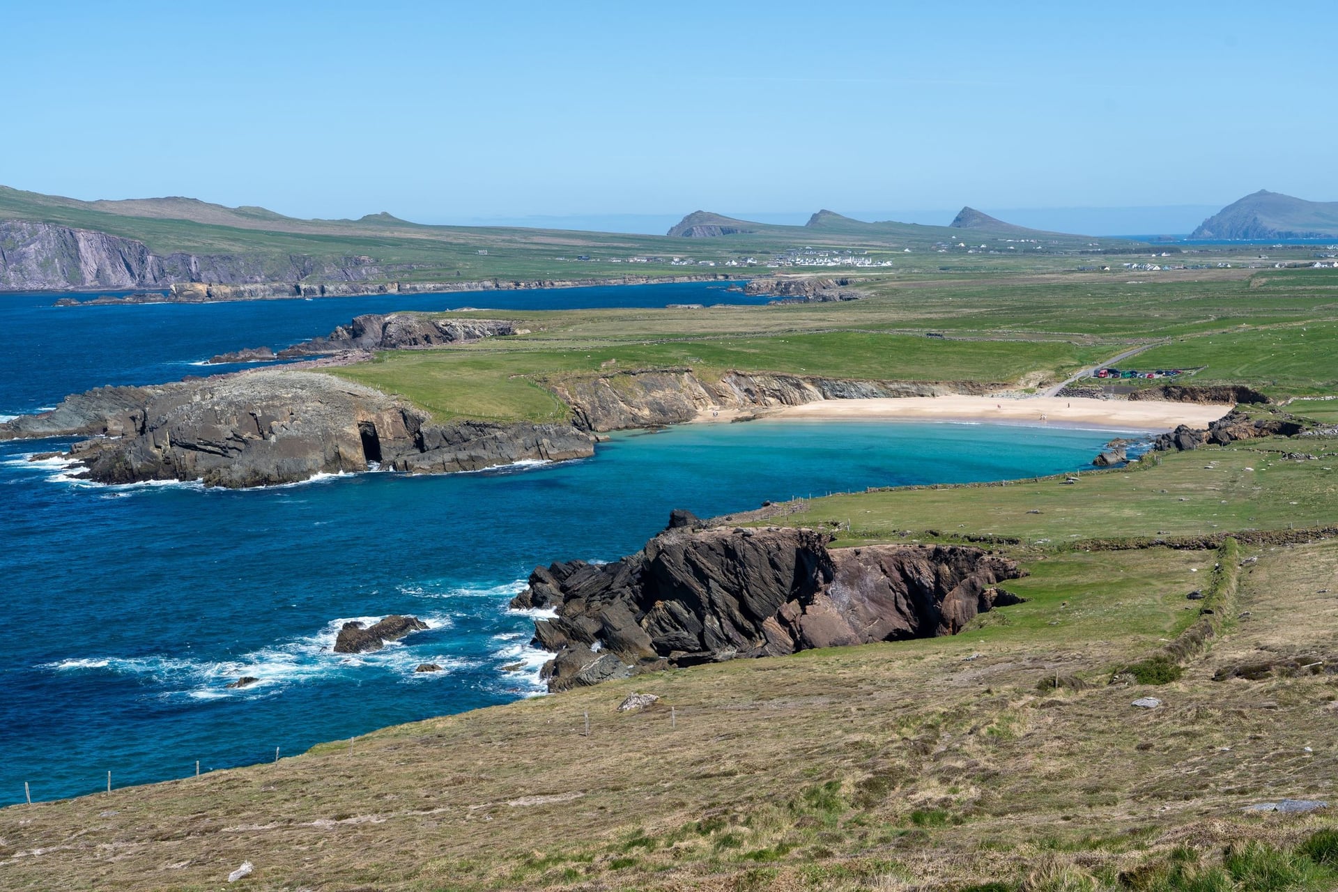
Distance: ~110 km round the Dingle Peninsula, then ~70 km from Tralee to Kilrush
Days: 3 to 4
Highlights: Slea Head, the Conor Pass, Loop Head
Best for: The biggest climb and an Irish-speaking peninsula
Dingle has the route's biggest climb, the Conor Pass, at 456 m Ireland's highest paved pass. The Slea Head loop of about 50 km circles its tip past Dunquin and the Blasket Islands, through an Irish-speaking Gaeltacht.
North of Tralee the route crosses the Shannon estuary on the 20-minute Tarbert to Killimer car ferry. Beyond Kilrush, the Loop Head peninsula is one of the emptiest roads on the coast, ending at a lighthouse above the river mouth.
5. The Burren and the Cliffs of Moher
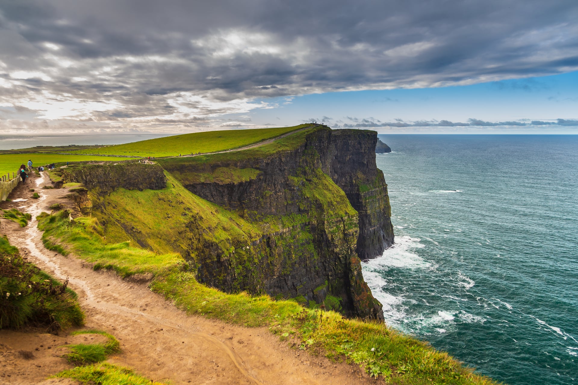
Distance: ~180 km, Kilkee to Galway
Days: 3, or a week on our tour
Highlights: the Cliffs of Moher, Doolin, the Burren, Kinvarra
Our tour: Cliffs of Moher Bike and Hike, 7 days from Galway
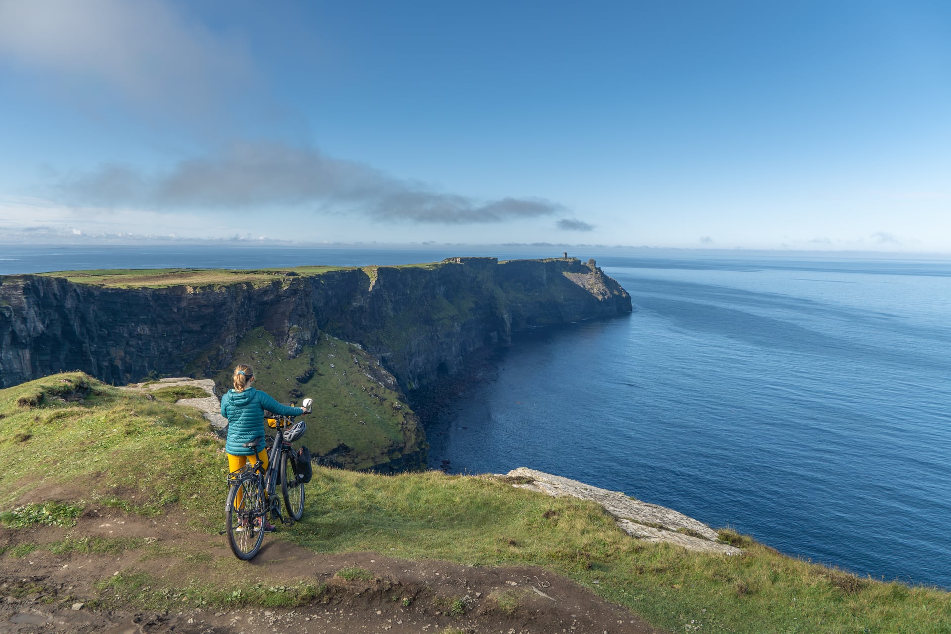
The Clare coast reaches the Cliffs of Moher, which rise to 214 m, then the bare limestone of the Burren. The coast road from Doolin to Ballyvaughan is the highlight, between the karst hills and the sea.
Doolin, known for its traditional music, makes the natural overnight stop. Our gentlest tour rides it from Galway, with a walking day on the cliffs and a ferry to Inis Mór.
6. Connemara and Killary Harbour
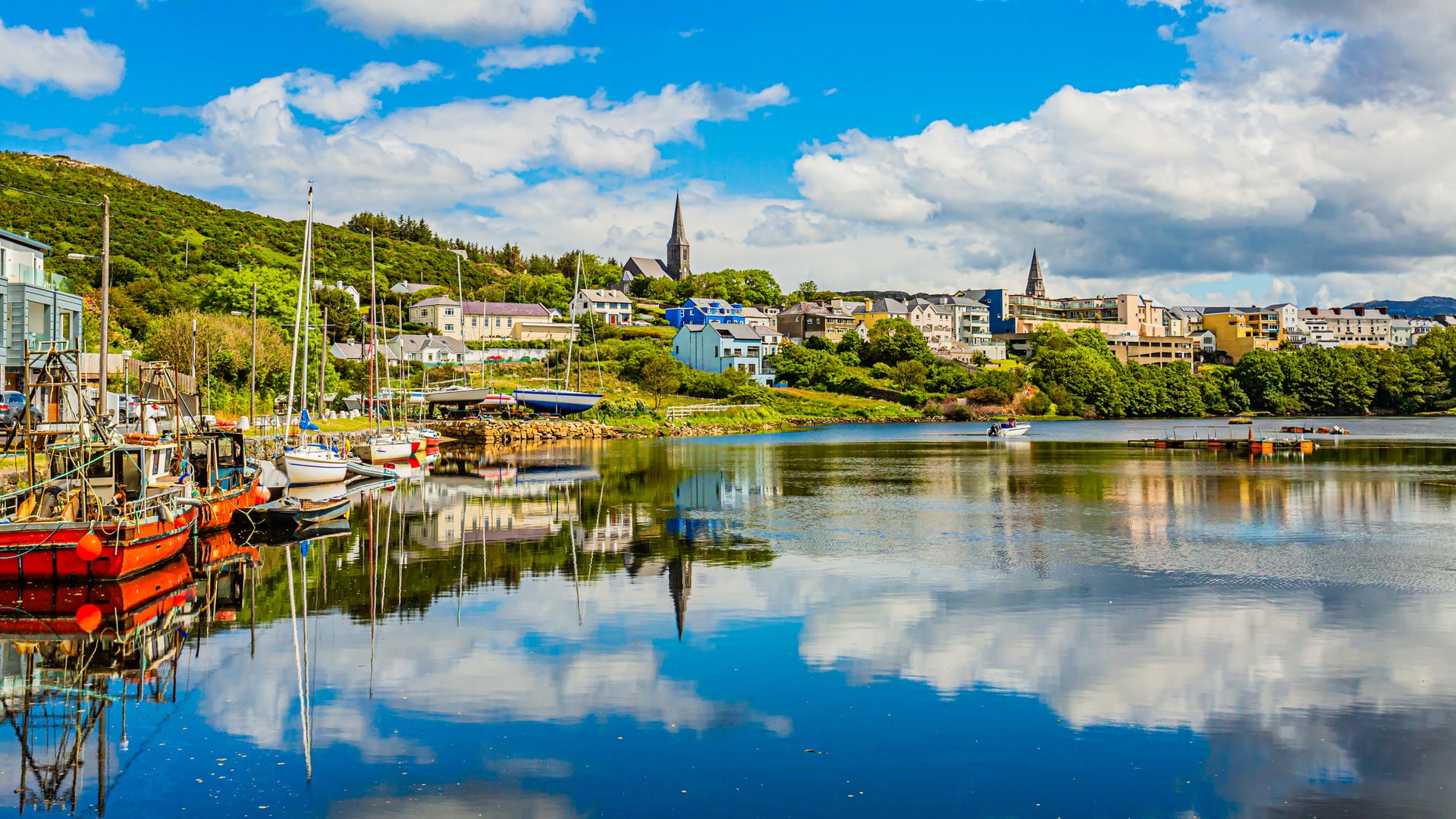
Distance: ~180 km, Galway to Leenaun
Days: 3, or a week on our tour
Highlights: the Sky Road, Inishbofin, Kylemore Abbey, Killary Harbour
Our tour: Wild Atlantic Way & Connemara Bike Tour, 7 days from Galway
West of Galway the coast road runs through the Irish-speaking villages of Spiddal and Inverin, then breaks into bog, lakes and inlets. From Clifden, the Sky Road loops above the sea, and the route climbs past Kylemore Abbey to Killary Harbour, often called Ireland's only fjord.
Our tour adds the Inishbofin ferry and the Doolough Valley, the finest single road in Mayo, before turning back to Galway by Lough Corrib.
7. Mayo and Sligo: Achill to Benbulben
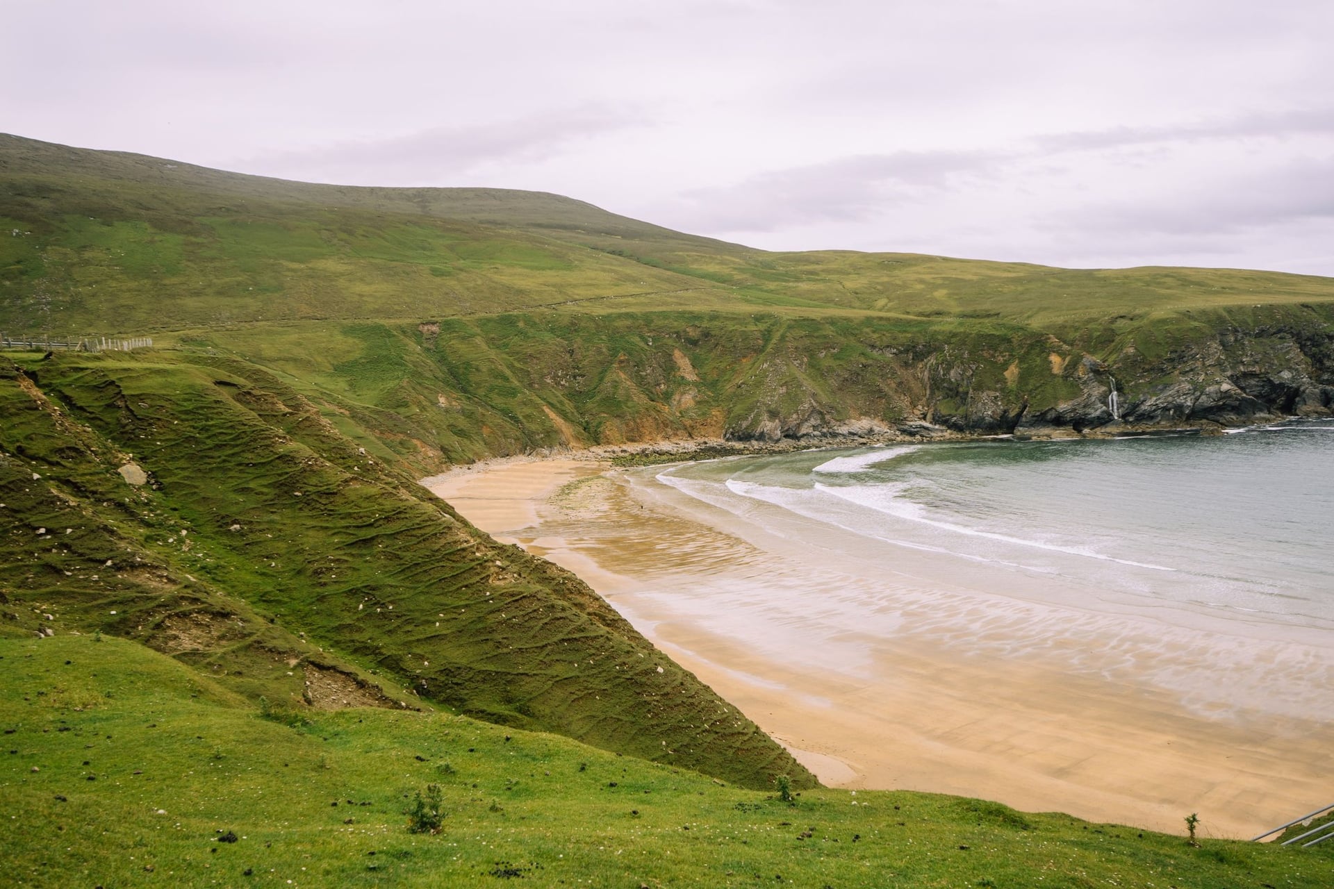
Distance: ~430 km, Leenaun to Bundoran
Days: 6 to 7
Highlights: Achill Island, Downpatrick Head, the Céide Fields, Benbulben
Best for: Long empty roads and few other tourists
This is the least-visited stretch of the Wild Atlantic Way. It passes Westport and the traffic-free Great Western Greenway to Achill Island, then the remote Erris coast round Belmullet, where the EuroVelo 1 day sections reach 83 km.
The north Mayo cliffs at Downpatrick Head and the Neolithic field walls of the Céide Fields lead on to Sligo and the flat-topped mountain of Benbulben. Services thin out here, so plan the overnight stops before you set off.
8. Donegal: Sliabh Liag to Glenveagh
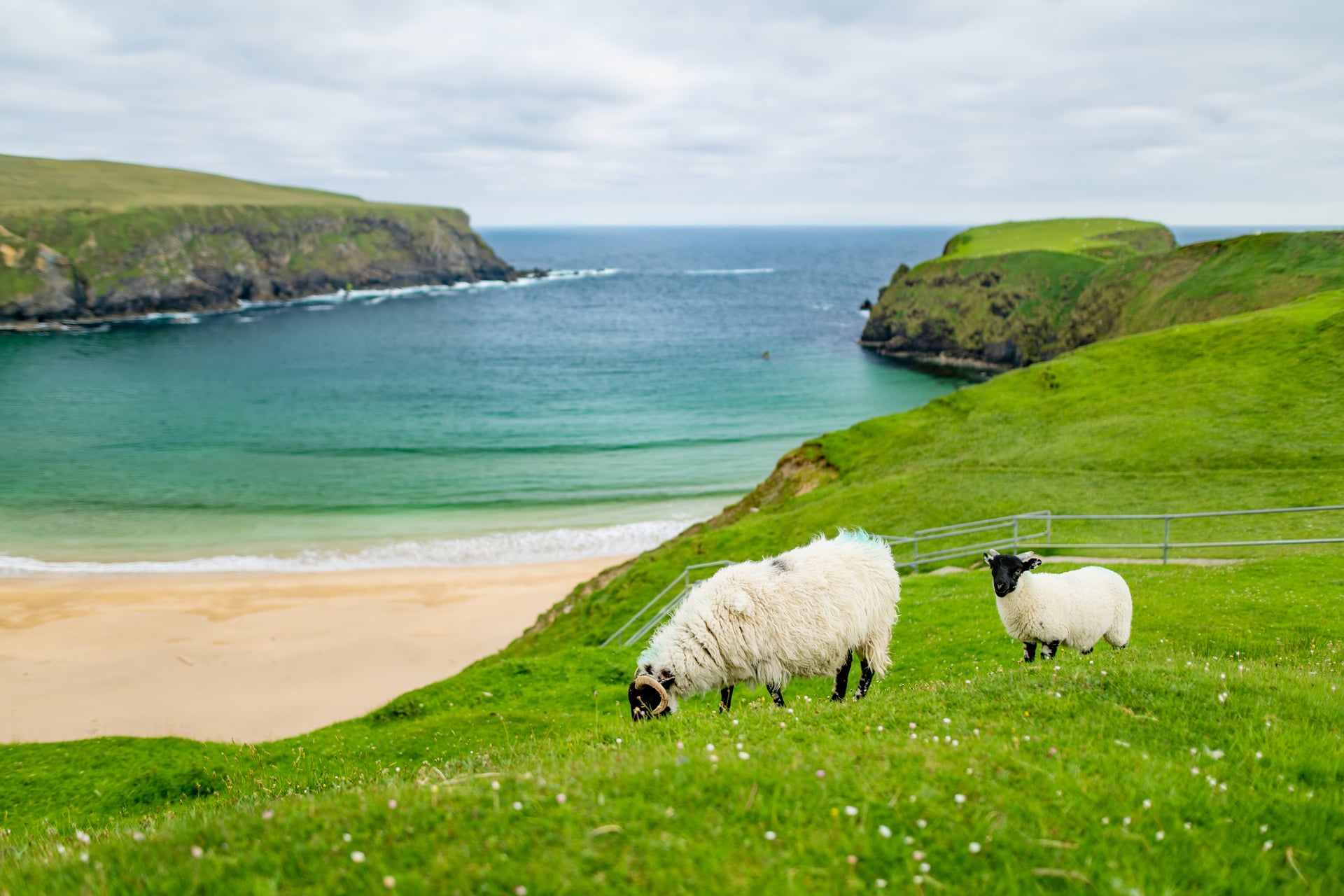
Distance: ~220 km, Bundoran to Letterkenny
Days: 4, or a week on our tour
Highlights: Sliabh Liag, Glencolmcille, Maghera Beach, Errigal
Our tour: Donegal's Treasures Bike Tour, 8 days from Donegal town
Donegal has the hardest riding on the route, with short steep climbs between bays. It passes Killybegs, Ireland's largest fishing port, and the Sliabh Liag cliffs, among Europe's highest sea cliffs.
Our tour rides it from Donegal town to Letterkenny, at 30 to 70 km a day with about 4,400 m of climbing, and adds an optional ferry to Arranmore Island.
9. Inishowen and Malin Head
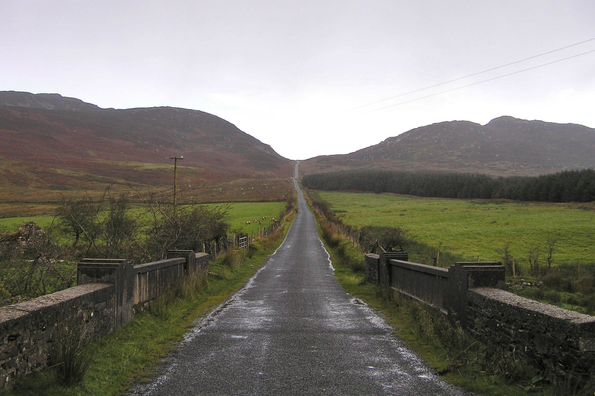
Distance: ~160 km round Inishowen (the Inishowen 100 loop), plus Fanad
Days: 2 to 3
Highlights: Fanad Head, the Gap of Mamore, Malin Head
Best for: A wild finish at Ireland's northern tip
The last section rounds the Fanad and Inishowen peninsulas. The Gap of Mamore, a single-track pass above the Atlantic, is one of the steepest climbs on the whole route.
Malin Head, the most northerly point of mainland Ireland, is the natural finish, with the old signal tower of Banba's Crown on the headland. The route officially ends at Muff, a few miles from Derry~Londonderry and its trains.
Best Time for Cycling the Wild Atlantic Way
Ride it from May to September. May and June are the pick of the season: Met Éireann records them as the sunniest months of the year, and the roads are quiet before the school holidays.
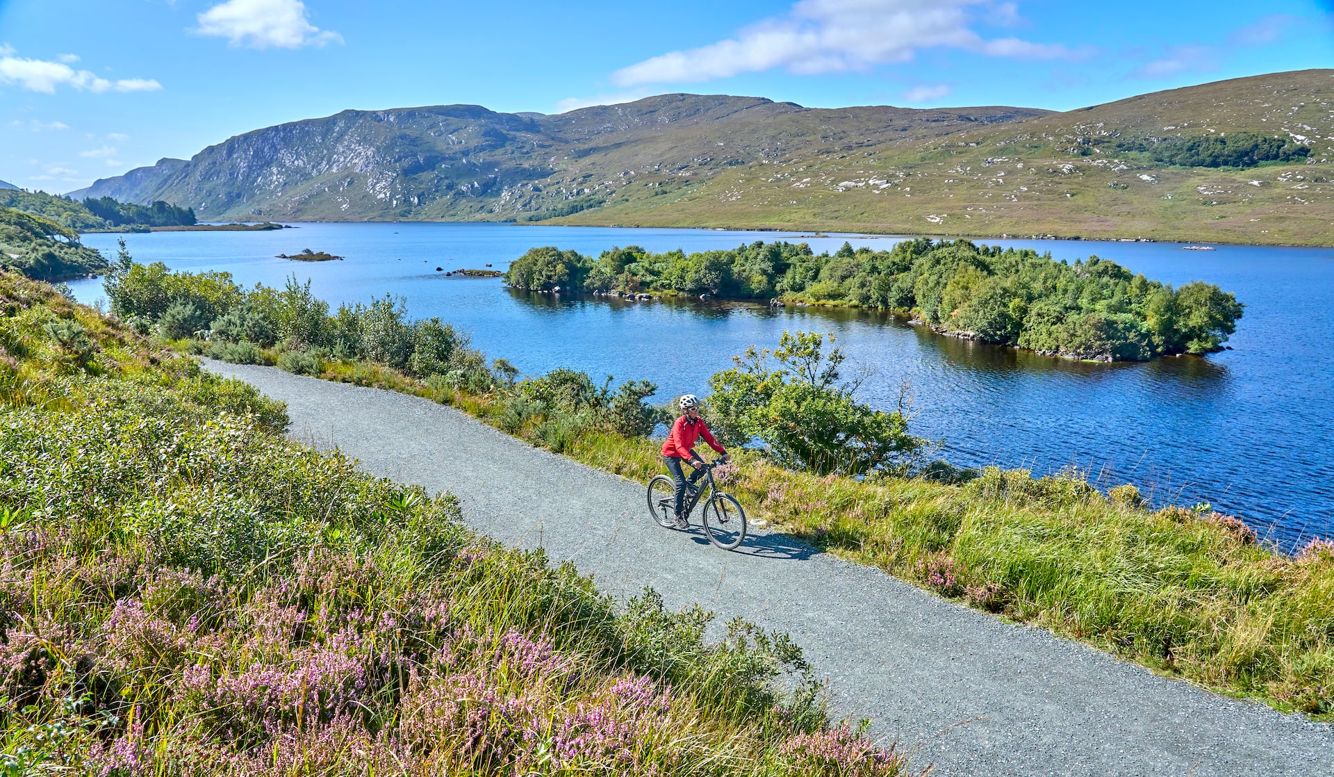
July and August are warmest but busiest, especially on the Ring of Kerry and at the Cliffs of Moher. September is quieter and still mild, but windier. In June it stays light until about ten in the evening, and later in Donegal, so even a 60 km day leaves hours of daylight for stops.
Getting to the Start and Back From the Finish
Cork Airport is 21 km from Kinsale, linked by Bus Éireann route 226. At the northern end, Derry~Londonderry has its own airport and an hourly train to Belfast, about two hours away.
For a single section, the railway reaches the coast at Tralee, Killarney, Ennis, Galway, Westport, Ballina and Sligo. Bikes travel free on InterCity trains, but you must book a bike space online and some trains carry only two.
Donegal has no railway, so riders there use the Expressway coach from Dublin. On our tours the rental bike is delivered to your first hotel and collected at the last.
From Britain, ferries carry bikes to Rosslare from Fishguard and Pembroke, and to Dublin from Holyhead. Rosslare is the start of EuroVelo 1, about 345 km of riding east of Kinsale along the south coast.
Where to Stay and What It Costs
Family-run B&Bs and small hotels line the whole route, and most will store a bike indoors if you ask when booking. Book July and August weekends well ahead, especially in Dingle, Doolin, Clifden and Westport. On the remote stretches of Erris, Loop Head and Inishowen, villages with beds can be 40 km apart, so book the next night before you leave.
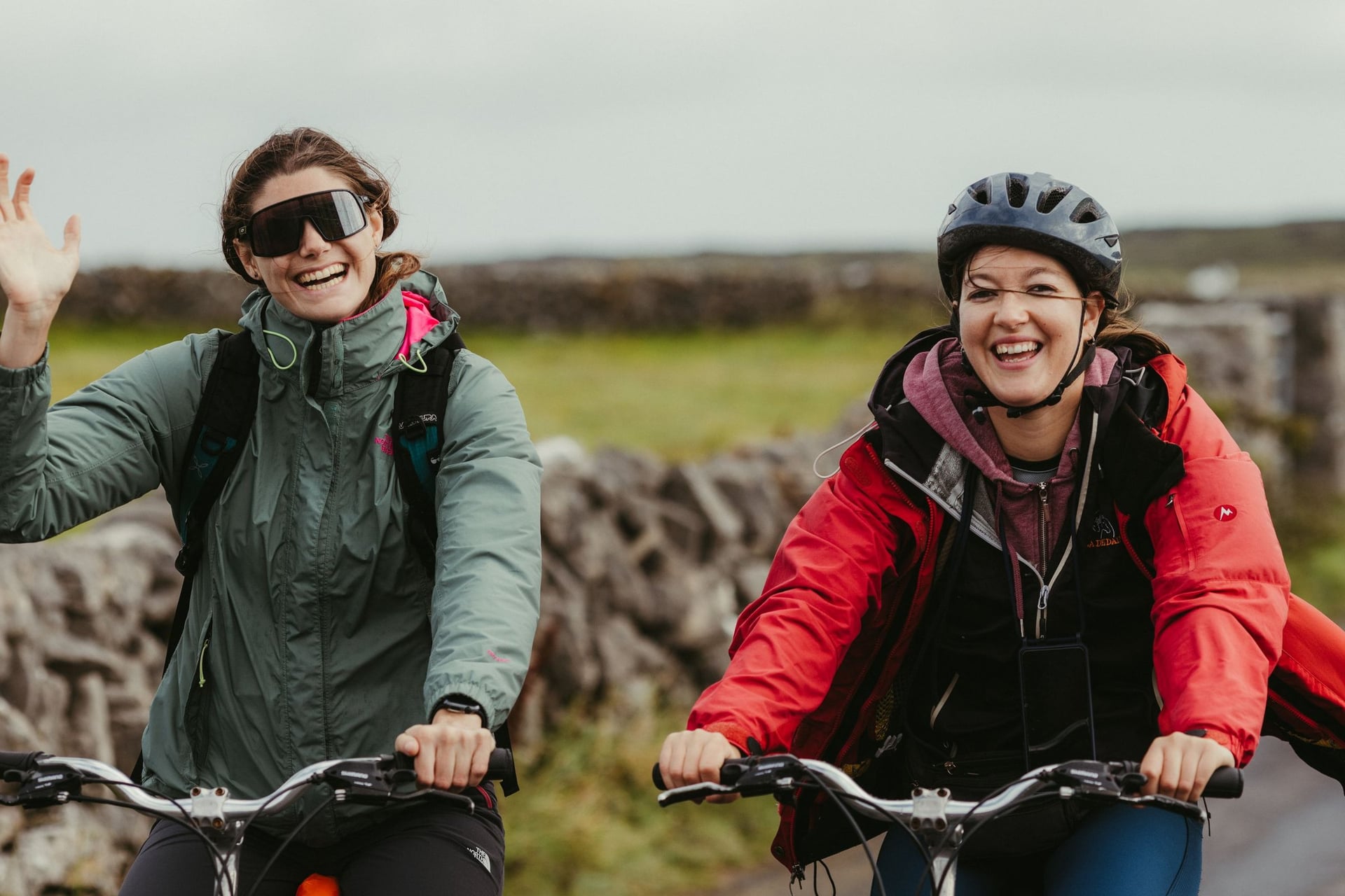
There are no tolls or permits on the route. Our tours include the nights with breakfast, luggage transfers, the GPS app and support; meals, island ferries and the tourist tax are paid as you go.
What to Pack
Pack for wind and rain every month: a waterproof jacket, a warm layer, full-finger gloves and overshoes. Lights and a red rear reflector are a legal requirement after dark.
Tyres of 32 mm or wider handle the rough patches on the lanes, and our tours use gravel bikes or e-bikes. Pack sun cream as well: the cool sea breeze hides how strong the sun is, so riders burn on cloudy days. Download offline maps before you leave, because phone signal drops out on remote stretches such as Erris and Loop Head. Carry two spare tubes and a pump: bike shops are in the larger towns, such as Killarney, Galway and Westport, not out on the headlands.
Frequently Asked Questions



Plan with a cycling expert
Free advice from a team that knows these routes inside out - real people, not a bot

Hassle-Free
We take care of route planning, accommodations, luggage transfers, and all logistics, so you can focus purely on enjoying your ride.

Tried & Tested Adventures
Our cycling routes are hand-picked & tested, to ensure breathtaking landscapes, smooth roads, and maximum safety - giving you the perfect ride every day.

Unbeatable Support
Our 24/7 customer support is where we show our passion, ensuring your cycling holiday runs smoothly and your well-being is always our top priority.

Book with Confidence
We are a financially protected company, fully bonded and insured, keeping your money safe and allowing you to travel with confidence.