Cycling the Ring of Kerry: Route, Climbs and Itinerary
The Ring of Kerry by bike: the 175 km loop and the signed cycle route, which way to ride, the three big climbs and how many days to allow for it.
Quick links
Don't want to read all this?
We've planned 800+ cycling trips. Send your dates, fitness and group size — we'll map the route and book every night.


The Ring of Kerry is a loop of about 175 km round the Iveragh Peninsula in south-west Ireland, starting and finishing in Killarney. It is the most famous bike ride in the country, with the Atlantic on one side and Ireland's highest mountains on the other.
This guide covers the route and its signed cycling version, which way to ride, the climbs, how many days it takes, and the 8-day itinerary of our Ring of Kerry Bike Tour. For the rest of the country, see our guide to cycling in Ireland.
The Ring of Kerry by Bike: Route and Distance
The main road loop follows the N70 and N71 through Killorglin, Glenbeigh, Cahersiveen, Waterville, Sneem and Kenmare, about 175 km in all. In summer that road carries tour coaches, so most touring cyclists use the signed Ring of Kerry Cycle Route instead.
The Ring of Kerry Cycle Route is 216 km. Only 74 km of it is on the main road; the rest uses quiet lanes, including the Skellig Ring past Portmagee and a crossing of Valentia Island, which in summer uses the short car ferry from Knightstown to Reenard Point. The table shows its seven sections, as Discover Ireland lists them.
Section | Distance | On Main Road | Height Range |
Killarney to Kenmare | 42 km | 13 km | 50 to 200 m |
Kenmare to Sneem | 30 km | 13 km | 60 to 150 m |
Sneem to Waterville | 35 km | 28 km | 70 to 200 m |
Waterville to Portmagee | 29 km | 3 km | 50 to 250 m |
Portmagee to Cahersiveen via Valentia | 16 km | 1 km | 0 to 90 m |
Cahersiveen to Killorglin | 42 km | 10 km | 50 to 100 m |
Killorglin to Killarney | 22 km | 6 km | 20 to 50 m |
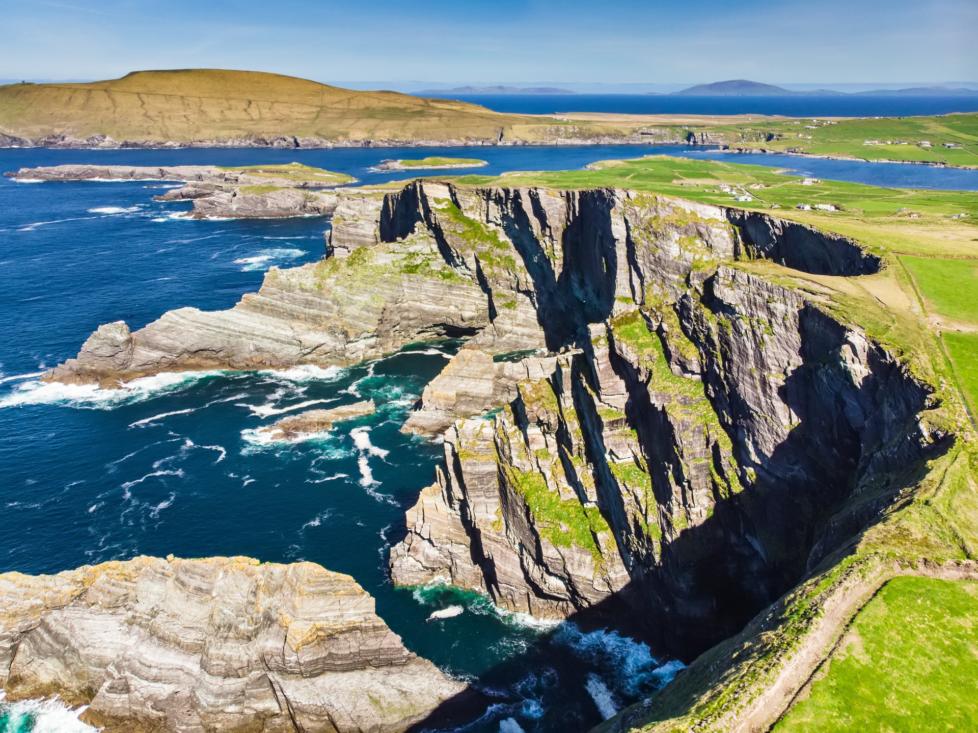
The extra 40 km buys the best part of the ride. The Skellig Ring is quieter and more dramatic than the main road, with the Kerry Cliffs and the Skellig Islands offshore.
For a Ring of Kerry cycling map, Discover Ireland's route page shows the signed line, and the map in the itinerary below shows our tour. Most riders load a GPS track: the cycle route signs are small and easy to miss at junctions.
Clockwise or Anticlockwise?
Most tour coaches drive the ring anticlockwise, from Killarney towards Killorglin. That splits cyclists into two camps, and both have a point.
Discover Ireland recommends riding the signed cycle route clockwise, for safety. The usual reasoning: you meet the coaches head on for a few seconds instead of having them queue behind you on a narrow road, and the sea stays on your side of the road for photo stops. Others ride anticlockwise so the coaches pass them only from behind.
Our tour rides anticlockwise from Tralee, but it leaves the main road wherever it can: round Lough Caragh, on the Skellig Ring and through the Black Valley, where coaches cannot go. Whichever way you ride, start early in July and August, before the coaches set out.
How Long Does It Take to Cycle the Ring of Kerry?
It depends on how fast you ride and how much you stop. The 175 km main loop is a long, hard single day even for a fit rider. Three days is the most common plan for a touring cyclist, at 50 to 60 km a day.
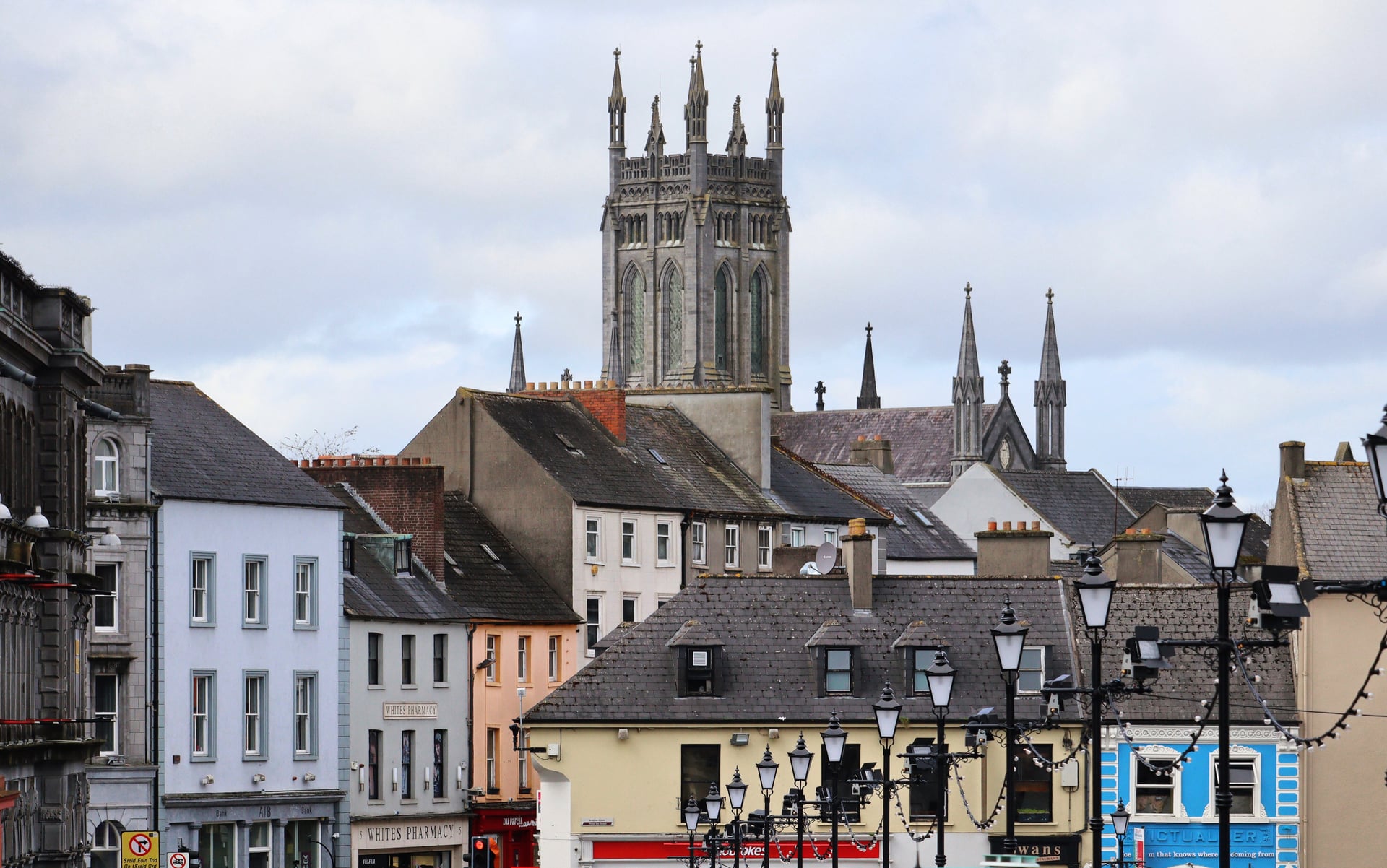
A simple three-day split from Killarney is Killarney to Cahersiveen (about 62 km), Cahersiveen to Sneem via Waterville (about 51 km) and Sneem to Killarney via Kenmare and Moll's Gap (about 60 km). Each night stop has several B&Bs and pubs.
A week lets you add the Skellig Ring, Valentia Island and the Gap of Dunloe, and keep the days to 30 to 60 km. That is how our tour does it.
If you only have one day, start in Killarney at first light and ride anticlockwise, so you reach the coast before the coaches. Plan the lunch stop in Waterville, roughly halfway, and save some legs for Moll's Gap near the end.
The Climbs: Moll's Gap, Coomakista and the Skellig Ring
The Ring of Kerry cycle route never rises above 260 m in elevation, but it is rarely flat, and three climbs stand out. None is long by Alpine standards, so the wind on the exposed coast is often harder than the gradient.
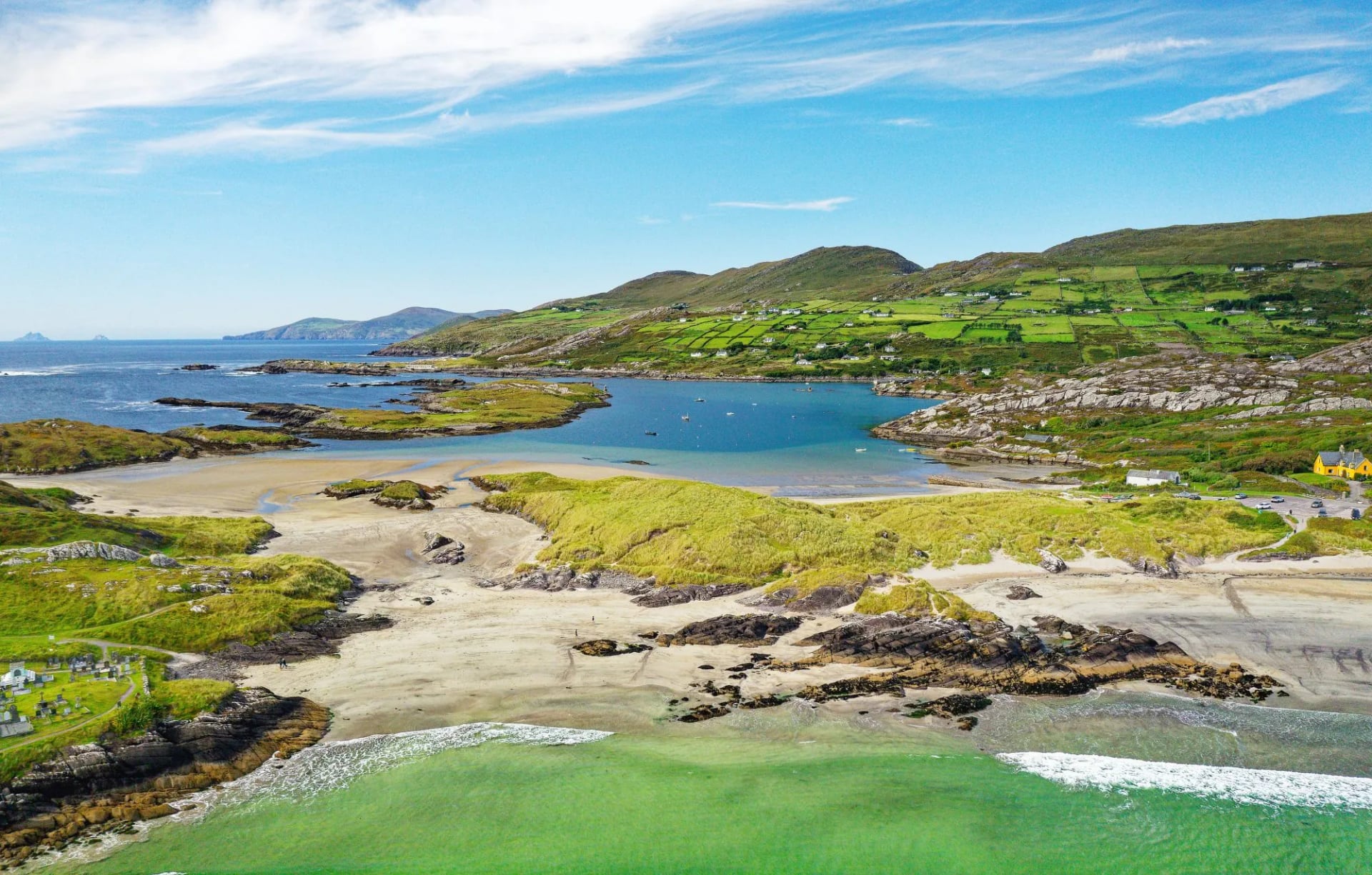
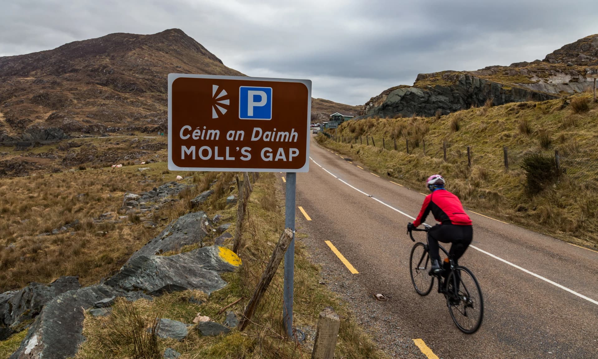
Moll's Gap (260 m): the highest point of the loop, on the N71 between Kenmare and Killarney. From Kenmare it is a steady climb of about 9 km.
Coomakista Pass (215 m): between Waterville and Caherdaniel, about 4 km at around 5%, with the best view on the ring over Derrynane Bay.
Coomanaspig Pass (248 m): on the Skellig Ring south of Portmagee, short and steep, above the Kerry Cliffs.
Ballaghbeama Gap (optional): an inland pass through the mountains north of Sneem, about 5 km at 4%, on a single-track road with almost no traffic.
Our tour climbs 275 to 690 m a day, and its hardest day is the 63 km first stage from Tralee. On a full one-day loop the climbing adds up to roughly 2,000 to 2,500 m, depending on the line you take.
Ring of Kerry Itinerary: 8 Days From Tralee to Killarney
Our self-guided tour rides the Ring of Kerry in six riding days, from Tralee to Killarney, with hotels booked, luggage moved each day and the route in a GPS app.
Distance: ~270 km (168 mi), ~3,160 m of climbing
Duration: 8 days, 6 riding days of 27 to 63 km
Route: Tralee to Killarney, via the Skellig Ring and the Gap of Dunloe
Surface: Paved roads and quiet lanes
Difficulty: 3/5, rolling with a few climbs of 200 to 300 m
Season: May to September
Map
The first day is the longest, and the last day through the Black Valley is the finest. Short days leave time for beaches and castles, and gravel bikes or e-bikes can be hired with the tour.
Arrive in Tralee, the county town, on the train from Dublin or from Kerry Airport, 19 km away.
Through Killorglin and round Lough Caragh to Glenbeigh, with Rossbeigh beach just below the village.
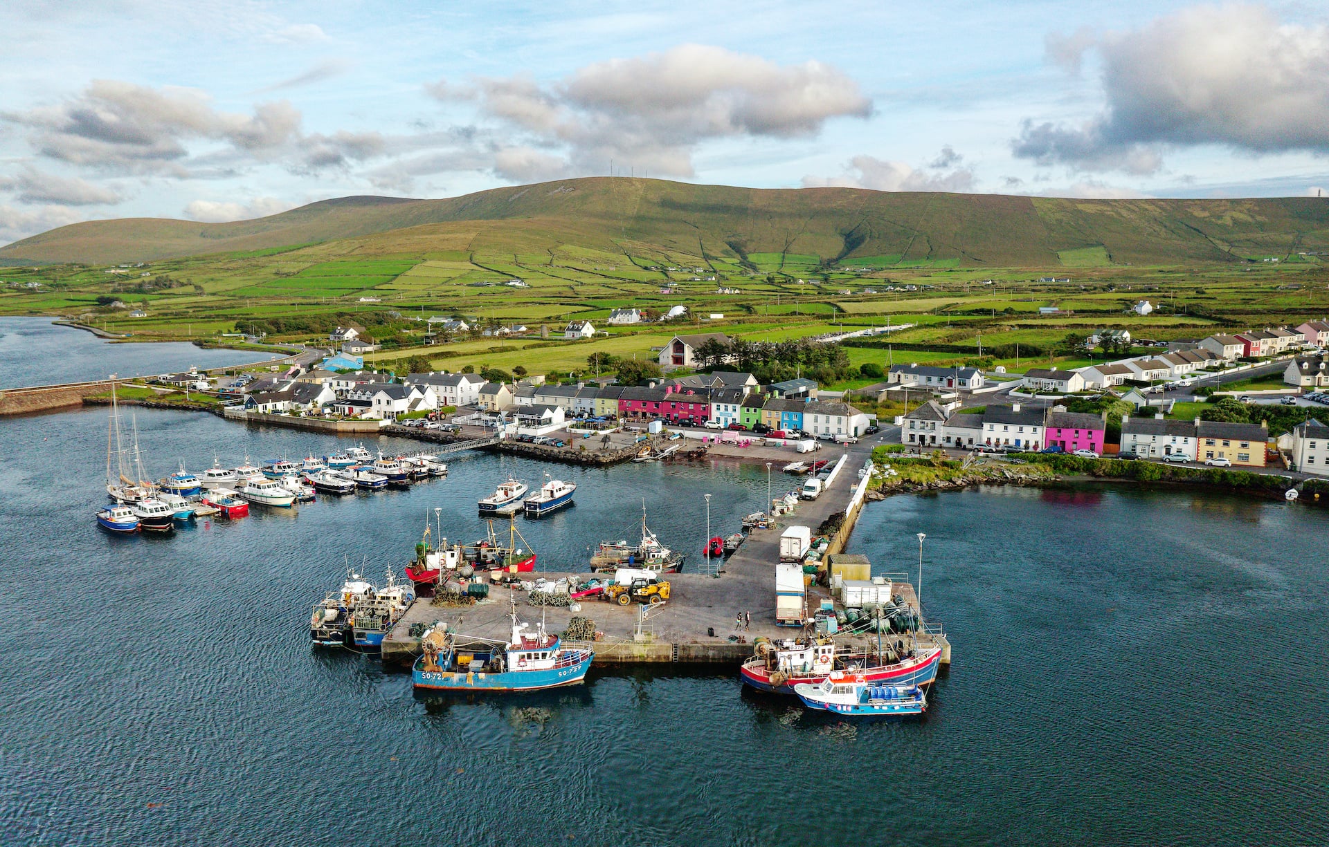
A short coastal day along Dingle Bay to Cahersiveen, past the ruins of Ballycarbery Castle.
The Skellig Ring through Portmagee, past the Kerry Cliffs and the beaches of Ballinskelligs.
Through Waterville and over the Coomakista Pass above Derrynane Bay to Sneem.
Inland past Lough Barfinnihy and down the Moll's Gap road to Kenmare.
Through the Black Valley and down the Gap of Dunloe, a road closed to coaches, into Killarney.
Time for Ross Castle or Muckross House in Killarney National Park before you leave.
The tour runs from May to September. It is rated 3 out of 5, which suits regular cyclists who are happy with a few climbs of 200 to 300 m.
The Ring of Kerry Charity Cycle
The Ring of Kerry Charity Cycle is a one-day mass ride held every July since 1982. In 2026 it takes place on Saturday 4 July, over a 170 km route from Killarney via Killorglin, returning over Moll's Gap.
It is a charity ride, not a race, and parts of the N71 and N72 close to traffic for it. If you are touring, avoid the ring on that day: the roads are packed and some are shut. If you want to ride it, register through the official event site.
Best Time for Cycling the Ring of Kerry
Ride it from May to September. May, June and September are the best months: the days are long, and there are far fewer coaches than in July and August.
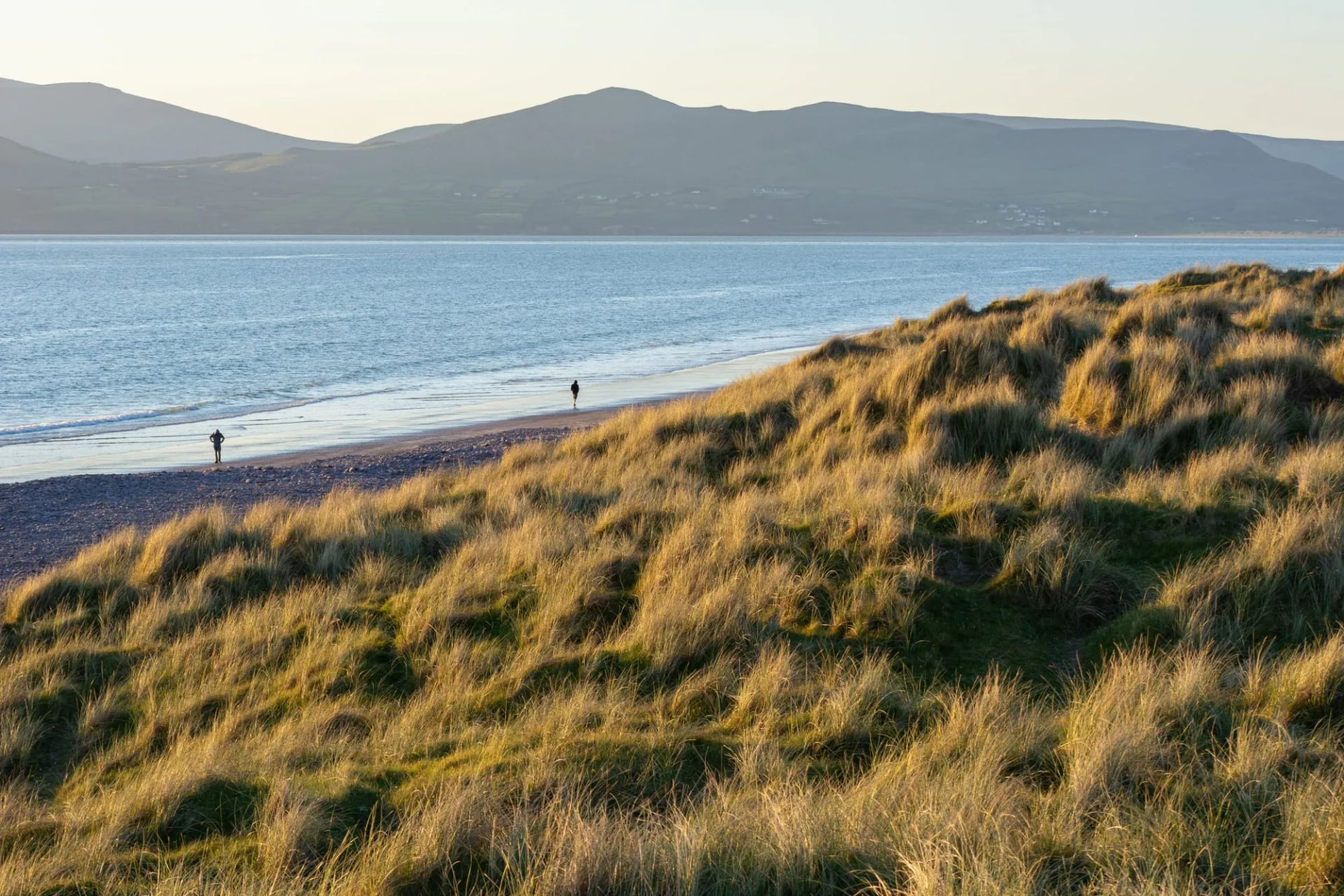
July and August are the warmest months, but the main road is at its busiest in the middle of the day, and rooms in Killarney and Kenmare sell out weeks ahead. In June it stays light until about ten in the evening, so even a long day leaves time for stops.
Getting to Killarney With a Bike
Killarney and Tralee both have railway stations, with trains from Dublin Heuston in about 3 h 40 min, usually changing at Mallow. You must book a bike space online before you travel on an Irish Rail InterCity train, and some trains carry only two bikes.
Kerry Airport, at Farranfore, is about 17 km from Killarney and 19 km from Tralee, with flights from Dublin, London and several European cities. Cork Airport is about 1 h 30 min away by road and Shannon about 2 h.
If you don't bring a bike, Killarney has bike hire shops. On our tour the bike is delivered to your first hotel in Tralee and collected in Killarney. To carry on after Kerry, our guide to cycling the Wild Atlantic Way covers the rest of the west coast.
Where to Stay and What It Costs
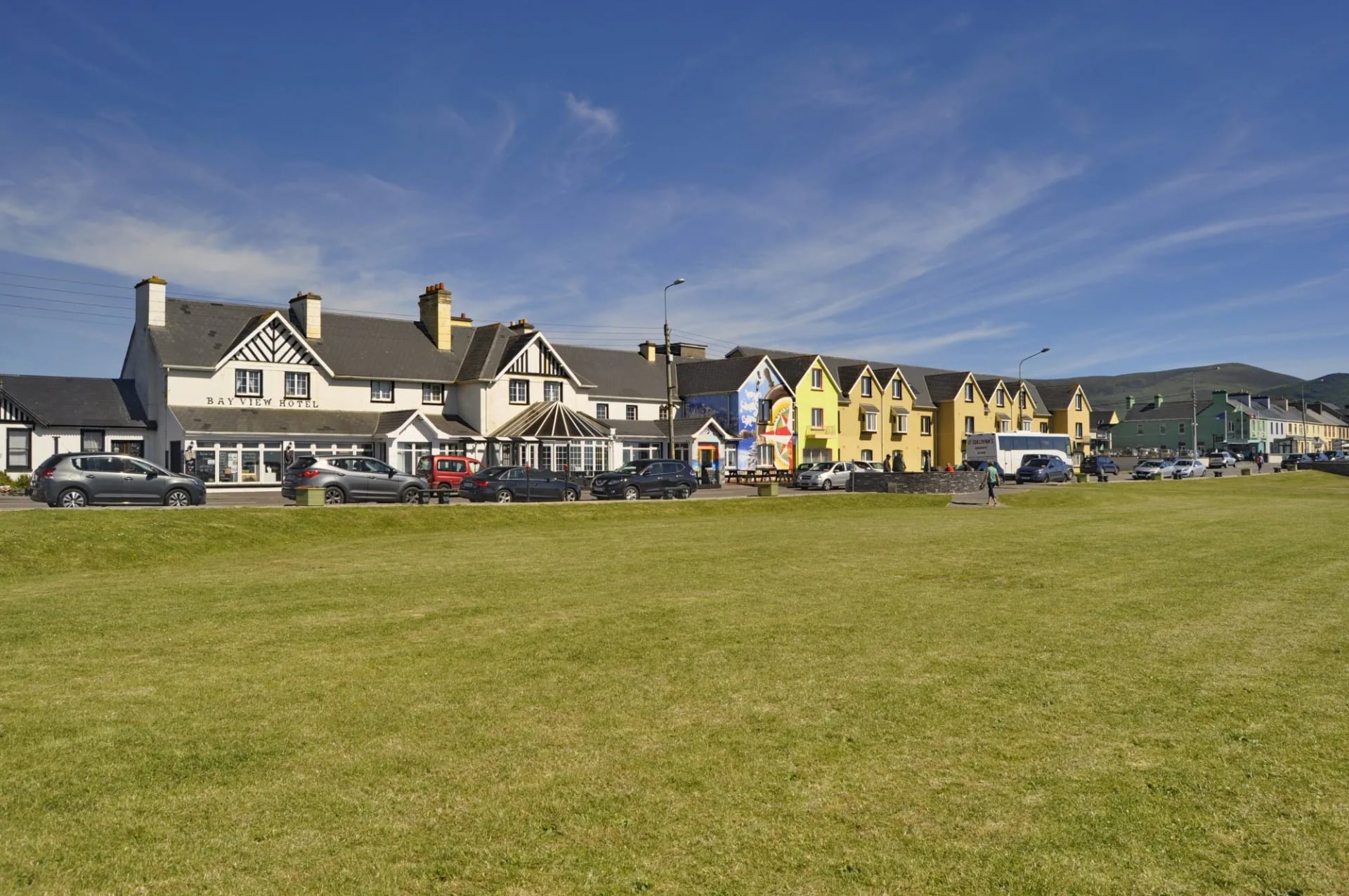
The natural overnight stops are Killorglin, Glenbeigh, Cahersiveen, Waterville, Sneem and Kenmare. All have B&Bs and small hotels, and most will store a bike indoors if you ask when you book.
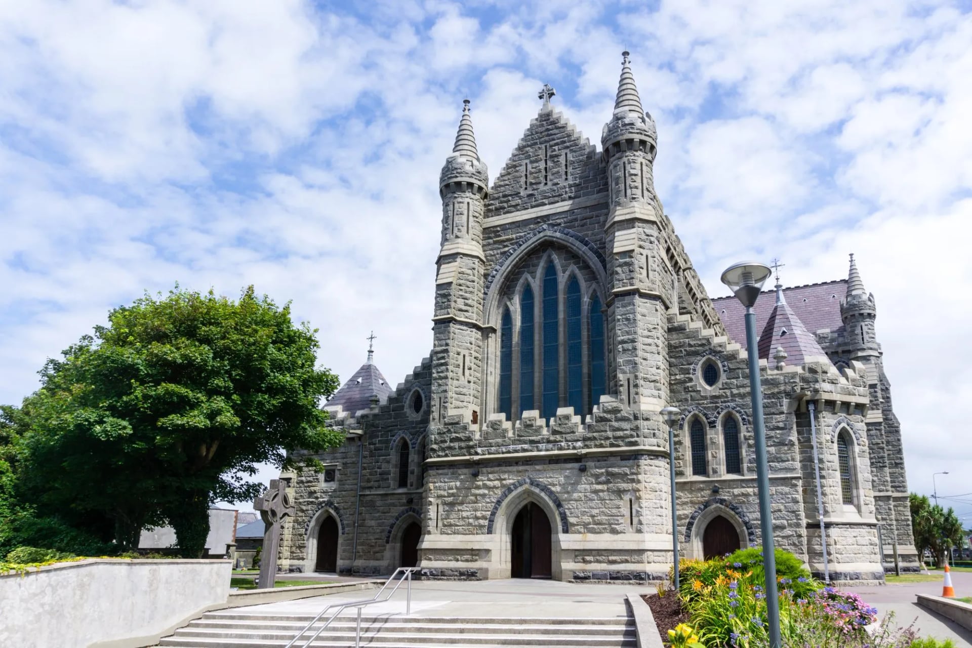
Rooms cost most in July and August, when Killarney and Kenmare charge their highest rates and the best places sell out. Our tour includes 7 nights with breakfast, luggage transfers, the guidebook, the GPS app and support; meals and the tourist tax are paid as you go.
What to Pack
The passes are exposed, so carry a waterproof jacket, a warm layer and full-finger gloves even in summer. Lights and a red rear reflector are a legal requirement after dark.
Take sun cream as well: the sea breeze hides how strong the sun is, so it is easy to burn on a cloudy day. Phone signal is weak on parts of the Skellig Ring, so download an offline map before you set off.
Frequently Asked Questions
Plan with a cycling expert
Free advice from a team that knows these routes inside out - real people, not a bot

Hassle-Free
We take care of route planning, accommodations, luggage transfers, and all logistics, so you can focus purely on enjoying your ride.

Tried & Tested Adventures
Our cycling routes are hand-picked & tested, to ensure breathtaking landscapes, smooth roads, and maximum safety - giving you the perfect ride every day.

Unbeatable Support
Our 24/7 customer support is where we show our passion, ensuring your cycling holiday runs smoothly and your well-being is always our top priority.

Book with Confidence
We are a financially protected company, fully bonded and insured, keeping your money safe and allowing you to travel with confidence.